Our Services

Comprehensive
Geospatial Solutions

From traditional land surveying to cutting-edge 3D scanning and aerial mapping, we provide the complete spectrum of geospatial services with unmatched precision.

Complete Land Surveying Solutions

Accurate, compliant, and professional surveying services for property, construction, and land development

Property Boundaries

Precise boundary surveys, title surveys, stakeouts, and legal documentation to clearly define property ownership and avoid disputes.

Learn More β†’

Topographical Surveys

Detailed land mapping including elevations, contours, slope analysis, and flood data for planning and development.

Learn More β†’

Construction Layout

Accurate stakeouts and layout services for new construction and renovations to ensure projects are built as designed.

Learn More β†’

Subdivision & Planning

Expert support for subdivisions, lot mergers, reapportionments, and compliance with municipal regulations.

Learn More β†’

As-Built & Existing Surveys

Detailed surveys of existing conditions and completed structures to meet compliance and documentation requirements.

Learn More β†’

Specialized Surveys

Route surveys, right-of-way mapping, roof surveys, and custom services tailored to specific project and town requirements.

Learn More β†’
Core Service

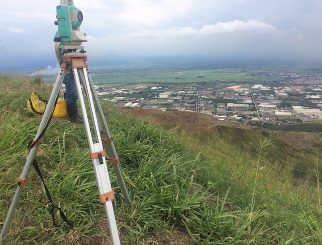
Property Lines & Boundary Surveys

We provide accurate boundary determination and legal documentation to define property ownership with confidence. Our surveys help prevent disputes and ensure compliance with local regulations.

Services Included

  • Title Surveys (New, Transfer, Updates)
  • Property Stakeouts
  • ALTA Surveys
  • Boundary Surveys (A/2)
  • Legal Descriptions
  • Visual Inspections

Planning Support

  • Subdivision Planning
  • Lot Mergers
  • Reapportionments
  • Municipal Compliance
  • Permit Support
  • Documentation
Request Survey
Land Analysis

Topographical Surveys

Detailed mapping of land features including elevations, slopes, and terrain conditions to support engineering, design, and development projects.

  • Topographical Mapping
  • Slope Analysis
  • Lot Coverage Calculations
  • Flood Elevation Certificates
Get Topography Survey
Construction Support

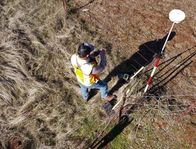
Construction & Layout Surveys

From planning to completion, we provide accurate layout and verification services to ensure your construction project is executed exactly as designed.

  • Construction Stakeouts
  • Existing Condition Surveys
  • As-Built Surveys
Start Project
Specialized Services

Additional Land Surveys

We offer a wide range of additional surveying services tailored to project-specific and municipal requirements.

  • Route Surveys
  • Right of Way Mapping
  • Roof Surveys
  • Custom Town Requirement Surveys
Contact Us

Ready to Start Your Geospatial Project?

Contact our team today for a free consultation and discover how our comprehensive services can bring precision to your project.